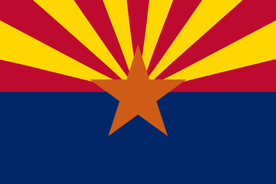
Arizona
“The Grand Canyon State”
County Descriptions:
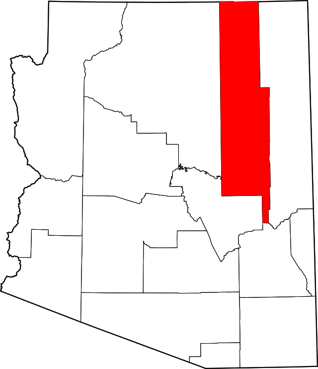
Apache County
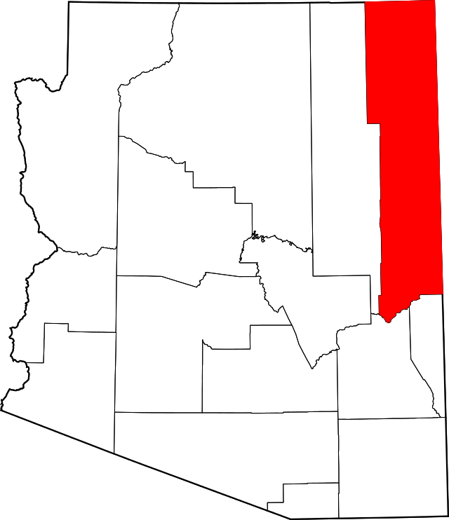
Apache County is located in the northeast corner of the U.S. state of Arizona. As of the 2010 census its population was 71,518. The county has a total area of 11,218 square miles and is the third-largest county by area in Arizona.
Apache County contains parts of the Navajo Indian Reservation, the Fort Apache Indian Reservation, and Petrified Forest National Park. Canyon de Chelly National Monument is entirely within the county.
Coconino County
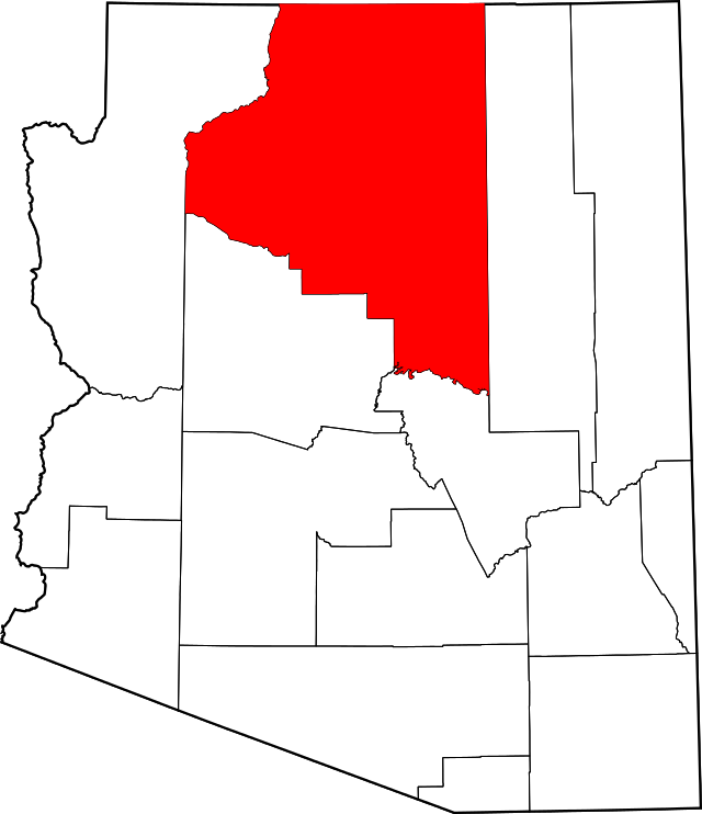
Coconino County is a county located in the north central part of the U.S. state of Arizona. The population was 134,421. The county has a total area of 18,661 square miles.
Coconino County contains Grand Canyon National Park, the Havasupai Nation, and parts of the Navajo Nation, Hualapai Nation, and Hopi Nation.
Mohave County
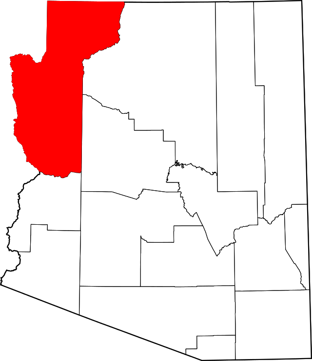
Mohave County is located in the northwestern corner of the U.S. state of Arizona. As of the 2010 census, its population was 200,186. The county has a total area of 13,461 square miles.
Mohave County contains parts of Grand Canyon National Park and Lake Mead National Recreation Area and all of the Grand Canyon-Parashant National Monument. The Kaibab, Fort Mojave and Hualapai Indian Reservations also lie within the county.
Navajo County
Navajo County is located in the northern part of the U.S. state of Arizona. As of the 2010 census, its population was 107,449. The county has a total area of 9,960 square miles.
Navajo County contains parts of the Hopi Indian reservation, the Navajo Nation and Fort Apache Indian Reservation. Many people think that Arizona is a vast, open desert without vegetation. However, Navajo County offers not only the Monument Valley, but Keams Canyon, part of the Petrified Forest National Park, and the largest stand of Ponderosa Pines in North America.
Yavapai County
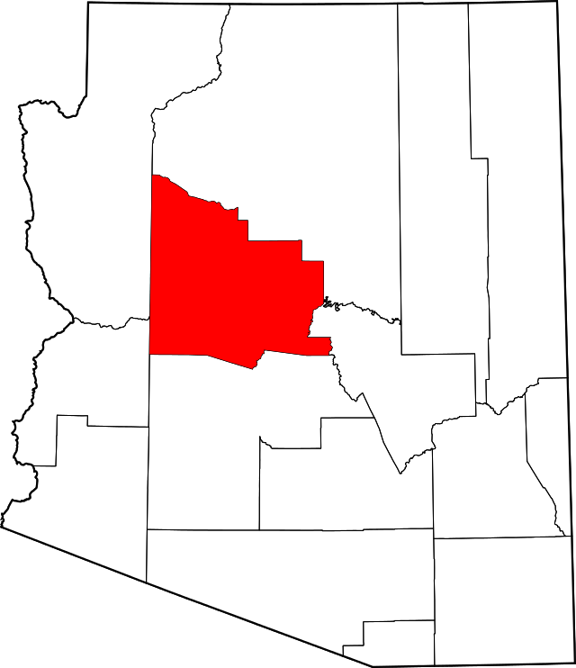
Yavapai County is located near the center of the U.S. state of Arizona. As of the 2010 census, its population was 211,073. The county has a total area of 8,128 square miles.
Yavapai County comprises the Prescott, AZ Metropolitan Statistical Area.The county’s topography makes a dramatic transition from the lower Sonoran Desert to the south to the heights of the Coconino Plateau to the north, and the Mogollon Rim to the east.
View Available Properties
(Source: Wikipedia)